Watch the video
Player by YouTube. Open original video ↗
A previously unknown lake beneath northeast Greenland's Flade Isblink Ice Cap temporarily stores meltwater before releasing it downstream, according to an ESA-supported study described on 15 October. Researchers combined satellite observations and climate modelling to investigate the concealed reservoir.
The work examined observations from October 2018 to December 2024. Changes in the ice surface indicated a recurring pattern of filling and drainage, rather than water always flowing straight from surface melt to the ice margin.
Measuring a hidden process indirectly
The lake cannot simply be photographed from an ordinary satellite view through the ice. The study instead brings together different measurements, including surface elevation and radar observations, to investigate movement associated with water beneath it.
That is an important distinction between an observation and the interpretation built from several observations. The result depends on how the datasets fit together and how alternative explanations are assessed. A single raised patch on an image would not, by itself, establish every characteristic of a hidden lake.
Timing can matter as much as the annual total
Temporary storage changes when water reaches downstream systems, even when it does not create a new source of water. That timing can affect how researchers represent runoff and compare a model with observations collected in a particular season.
It would be a mistake to describe this as a new water supply available for use or as evidence that glacier loss has stopped. The study concerns a specific reservoir and process. Its implications for other ice caps require further evidence rather than automatic generalisation.
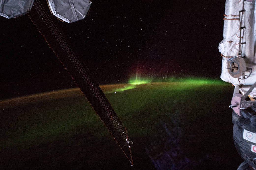
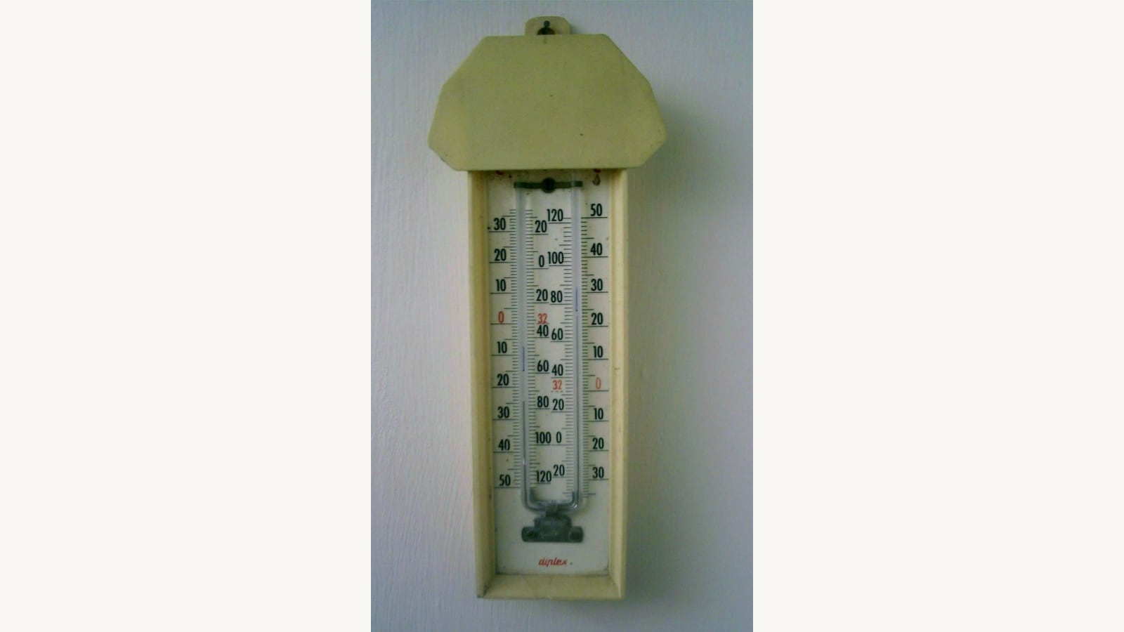
For readers following climate research, the finding illustrates why the route water takes can be as important as how much melts. Better representation of storage and release can improve a model without removing all uncertainty. The file images show environmental observation and a thermometer, not the newly identified lake, which remains beneath the ice.
Related video: World Meteorological Organization - WMO. WMO’s 2025 water-cycle video provides background. It does not present the new Greenland lake measurements. Watch The State of Global Water Resources report - English.

About the author
RullikClear, sourced explainers on Australia and the world
Rullik is the pen name of the founder of Australia Illuminate (Auslume). Rullik writes plain-language explainers on life in Australia, from immigration, study and work to money, sport and screen culture, always linking to the official sources behind each story. Every story is reviewed before publication.
More from Rullik ↗Image credits
- A maximum and minimum thermometer mounted on a wall. Illustrative photograph, not a current Australian temperature reading.: Photo: Lumos3 at English Wikipedia / Wikimedia Commons, CC BY-SA 3.0 (https://creativecommons.org/licenses/by-sa/3.0/). Resized without cropping. Source: https://commons.wikimedia.org/wiki/File:Max_Min_Thermometer.JPG