Watch the video
Player by YouTube. Open original video ↗
An uncrewed surface vessel has departed Hobart as part of a five-year effort to measure carbon exchange in the Southern Ocean. CSIRO announced the departure on 24 September, with NOAA subsequently describing the wider research fleet and collaboration.
The wind- and solar-powered Saildrone vehicles are intended to operate for months in remote waters. The research aims to improve observations of how the ocean absorbs carbon dioxide, including in seasons and locations where ship traffic is limited.
More coverage means more chances to test an assumption
The Southern Ocean is difficult to observe regularly. A measurement collected during a ship's visit provides valuable information, but may miss what happens in another season or during conditions the vessel cannot safely sample. Repeated autonomous missions can help fill those gaps.
A planned route or deployment length is not the same as a completed observation record. Conditions, equipment performance and changes to the mission can affect which data are ultimately collected. The results will need quality checks before they support wider conclusions about the ocean carbon sink.
Data, not just distance, is the outcome
The agency's proposed long voyages are striking, but kilometres travelled are not the scientific result. More useful questions concern the instruments, calibration, coverage and how the observations compare with other measurements and models.
Uncrewed systems also do not remove the need for people. Researchers still design missions, maintain instruments, assess data and decide how new observations affect an estimate. Automation changes where some of that work happens.
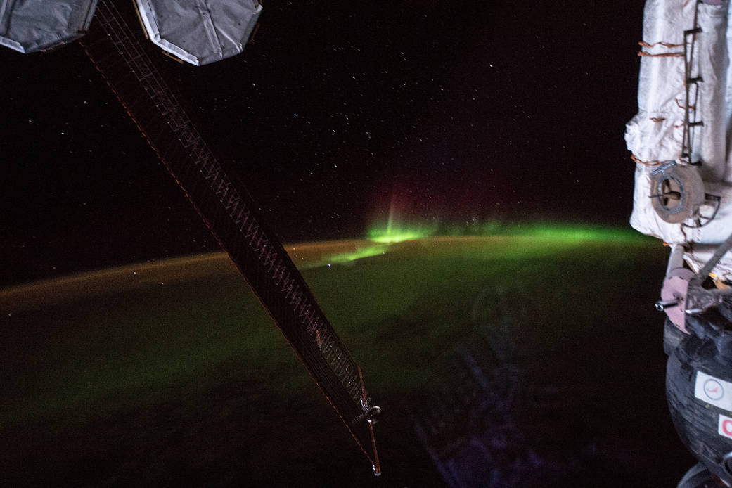
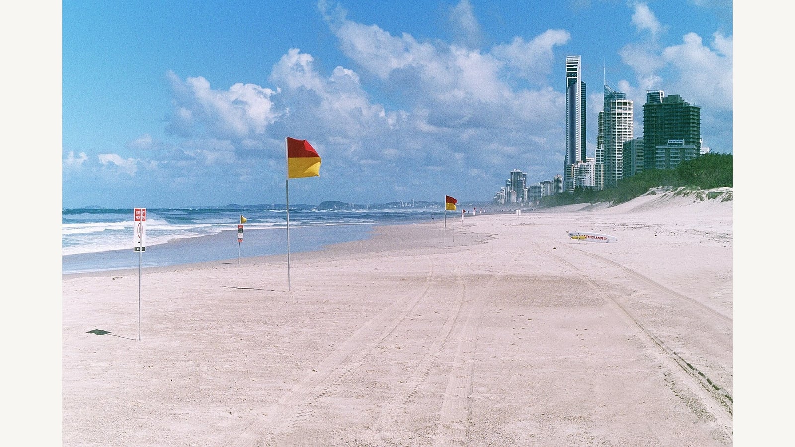
For readers interested in climate claims, this programme illustrates why an important global number can still need better underlying measurements. The mission has begun; its multi-year findings have not already arrived. The orbital and coastal file photographs are illustrative, and the archive video shows a different ocean mission, not this vessel's current position.
Related video: NOAAPMEL. NOAA’s 2016 Bering Sea video explains an earlier Saildrone mission. It is not footage of the new Antarctic programme. Watch Saildrones explore the Bering Sea.

About the author
RullikClear, sourced explainers on Australia and the world
Rullik is the pen name of the founder of Australia Illuminate (Auslume). Rullik writes plain-language explainers on life in Australia, from immigration, study and work to money, sport and screen culture, always linking to the official sources behind each story. Every story is reviewed before publication.
More from Rullik ↗Image credits
- Red and yellow patrol flags on a sandy beach with surf and buildings beyond. Historical photograph, not current beach conditions.: Photo: bigwavephoto / Wikimedia Commons, CC BY-SA 4.0 (https://creativecommons.org/licenses/by-sa/4.0). Resized without cropping. Source: https://commons.wikimedia.org/wiki/File:Sunny_day_at_the_beach.jpg